What Makes The New Met/Circle Line Trains Better? Michael Portillo Explains In This Video

I suspect most regular readers of this blog have ridden on the new S-stock trains that have debuted on the Metropolitan, Circle, Hammersmith & City & District lines over the past 8 months.

Former Conservative Party politician and unashamedly passionate rail aficionado Michael Portillo explains a few of the key benefits of the upgrade using his distinctive style in the video below:
Continue reading What Makes The New Met/Circle Line Trains Better? Michael Portillo Explains In This Video

Gospel Oak To Barking: Walking The Overground In Pictures

This post is part of my continuing series of walking the Overground & DLR now that I’ve successfully walked the entire Tube network. The walks are in continued support of Bowel Cancer UK.

Gospel Oak Station
The somewhat randomly located Gospel Oak station was the starting point for my walk

On March 8th, 2014 I completed the first of my Overground & DLR walks by walking from Gospel Oak to Barking. Unlike my previous Tube walks there is no rhyme or reason to the order in which I’ll walk them. I started with Gospel Oak simply because it’s within walking distance of my flat.

Overall, the walk was just over 17 miles (27.4 km) and took a little over five and a half hours. This gave me an average walking speed of just over 3 miles per hour. Not terribly fast, but better than what I averaged walking the Tube. It was a beautiful sunny day so I took a few photos along the way. Hope you enjoy:

Continue reading Gospel Oak To Barking: Walking The Overground In Pictures

The 68 Proposed ‘Great Tower(s) For London’ That Would Have Surpassed The Eiffel Tower

Great Tower For London

Click the image above for full height comparison

In 1890 Sir Edward Watkin – a British MP and Chairman of the Metropolitan Railway (now part of London Underground) – held a design competition for the “Great Tower For London” that would have rivaled (or in many cases surpassed) Gustave Eiffel’s tower in Paris. In total 68 designs were submitted. You can see a full height comparison of each design by clicking the image above. (created by reddit user herky140).

The Tower was going to be the centrepiece of an amusement park located in Wembley, which would have served as a tourist attraction to lure rail customers out from central London. The winning design would have been 1,200 feet (366m) tall, over 150 feet (45m) taller than the Eiffel Tower. However, the scheme slowly ran out of money and only ever reached a height of 154 feet (47m).

Thus, the tower was nicknamed Watkins Folly and the London Stump. However, all was not lost as Wembley Park turned out to be rather popular. In 1924 the site was picked as the location for the British Empire Exhibition Stadium, better known today as Wembley Stadium.

You can see some of the other proposed designs below:

Continue reading The 68 Proposed ‘Great Tower(s) For London’ That Would Have Surpassed The Eiffel Tower

How Big A Beard Do You Grow Walking Over 4,500km in China?

While, I normally try to keep this blog focused on things related to London, every so often I like to feature stories that are just a little bit random and/or a little bit crazy. For example, watch the Longest Way Below:
Continue reading How Big A Beard Do You Grow Walking Over 4,500km in China?

Tube/Overground: Walking The Former East London Line In Pictures

This post is part of my continuing series of walking the Overground & DLR now that I’ve successfully walked the entire Tube network. The walks are in continued support of Bowel Cancer UK.

Former Shoreditch station
Former Shoreditch station was the end of the original East London Line

While I’ve only just announced my intention to walk the Overground & the DLR, I walked the former East London Line with Pete Stean from the Londoneer and Mandy Southgate from Emm in London last February as part of my original Tube challenge. They both wrote great summaries of the walk, which you can read by clicking the links above.

Continue reading Tube/Overground: Walking The Former East London Line In Pictures

Announcement: I’m Going To Be Walking The Overground & DLR

27j - Services from Stratford

Stratford, the only place where all services & my walks will intersect

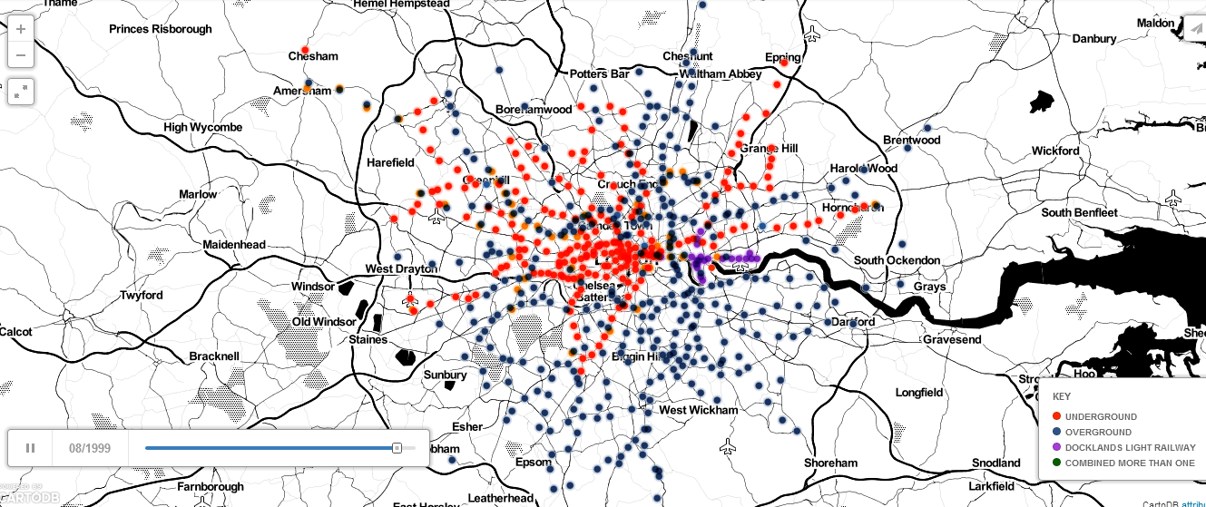
On August 24th 2013 I successfully completed my walk of the Tube network. In the interim I’ve been rather quiet about what my next major project would be. I’ve toyed with the idea of walking the Capital Ring and/or the London Loop.

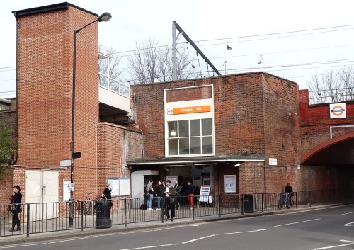
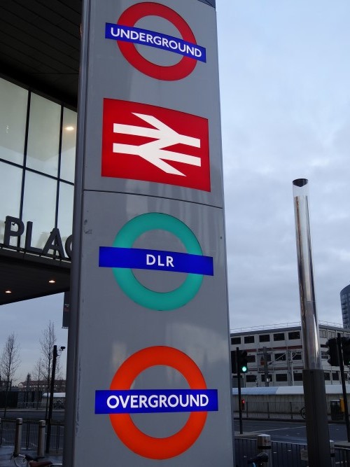
While those are both projects I’d like to tackle at some point, I’ve decided to be wholly unoriginal and instead walk the Overground (that is the TFL Overground, not National Rail; at least for now) and the DLR.

I’ve no desire to repeat my long walks though London in the rain and cold. Thus, the project has no fixed order in which I’ll walk the lines nor a fixed end date to be completed by. I’m going to choose walks when I want to do them, rather than forcing myself to do them because I have to.

The format of the blog posts is also going to be slightly different. These days I find I have far too many projects to work on and far too little time to work on them. So instead of writing book chapter length posts, I’m just going to post some of the photos from each walk.

I hope you enjoy them just as much.

Finally, I’m going to keep raising money for Bowel Cancer UK. Please donate here.

What’s Happening With My Tube Posts?

I have no idea how closely you read this blog, but if you’re a particularly keen-eyed, long time reader you’ll have noticed that I still haven’t written up most of my tube walks (or even tube station visits).

Well there is still a plan to get these written up. The bad news is that it will take some time. In the meantime I hope you do enjoy the other posts on this site.

What Did Your Part of London Look Like in The 1890s?

Ever wish you could do a Google Street view of London from the 19th century? Well the National Library of Scotland have done the next best thing! They’ve created a map mashup by overlaying 1890s era Ordnance Survey maps with today’s Google Maps.

Source: National Library of Scotland

It’s fun playing around with it. What did your part of London look like in the 1890s? Or did it even exist at all?

Most of the places I’ve lived in London don’t look like they’d be too different 110 years ago, except that my company is now based in what used to be a pianoforte manufactory (aka a piano factory).

I work in a former piano factory!

Share any interesting findings in the comments section below:

The Secret Map Of Subterranean London


View Underground London in a larger map

The map above is a creation from the team over at the Londonist. Basically it shows many of the secret and hidden things you can find right below London’s streets. This includes not only abandoned underground stations, but also burred rivers like the Fleet, deep level World War 2 shelters, and even the Camden catacombs.

Enjoy your Friday afternoon by having a look around and seeing what you can find.